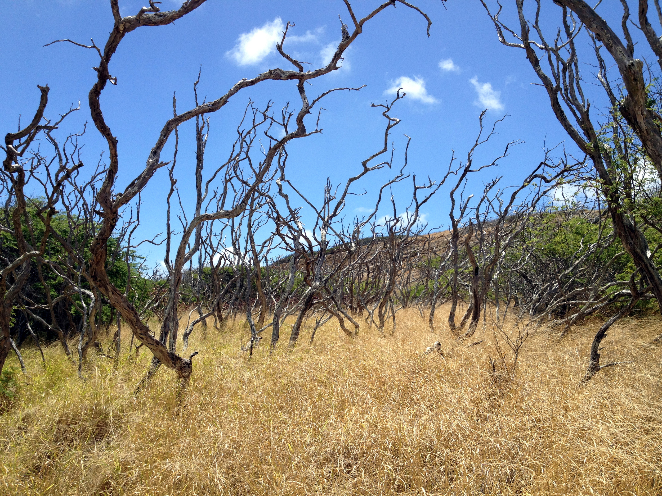
Big Update: So it would seem that Kamehameha Schools (via Kekoa Paulsen Director Community Relations & Communications Group) has closed this trail to the public. Word on the street is that they simply got tired of the neighbors complaining about the traffic on the street each weekend. In my opinion, I believe there is a better way to handle such things than simply closing the trail. That is like brain surgery with a machete rather than a scalpel. None the less, they did it and put up a big ugly fence to drive the point home. Keys were given to several hiking groups though. (Hmmm, REALLY?)
Not only have they done this, They have also informed bloggers such as myself to cease and desist any mention of this hike and or any others that may be on there property. (OR PASS OVER for that matter) REALLY? I hope they realize the thousands of books, blogs, papers, videos maps and published media they will need to reach with this madness. Impossible.
They claim that they are trying to protect the aina, but isn't that always the story? Also the danger involved. I'm sorry, but that simply never works in the hiking community either. Besides, the trails that get the most injuries are not on this side of the island. Oh well... Now, after hearing this, the for mentioned individual made a comment that Kamehameha Schools is simply trying to inform the public of the fact that they own the land the trails are on. REALLY? OK, you own it! Thanks for letting us know and see ya on the trails!!!
I did my part. Thanks!
Well, hello again Hikers! Want to get a good workout with a treat? Well then, this hike is a hoot and sure to please. The treat you seek is a fabulous view. You may even burn a few calories and work up an appetite for a taco later!!!! (I HIKE FOR TACOS!) Distance: 2.57Mi.
Elevation: 760ft.-1,599ft.-760ft.
Time: 2.5 hours.
Water consumption: 32oz.
Caloric output: 800-1,100 calories depending on pace.
Difficulty: 1.8-3.0
Geo Cache: 4-5
 Way points:
Parking: 21°18'13.20"N 157°42'8.60"W
Trail head: 21°18'17.76"N 157°42'4.80"W
A: first breather. 21°18'21.84"N 157°42'10.94"W
B: Wonderful view. 21°18'38.72"N 157°42'15.87"W
C: Wonderful view 2. 21°18'49.54"N 157°42'23.45"W
D: View to Waimanalo. 21°18'59.80"N 157°42'23.48"W
E: View the other way. 21°19'0.76"N 157°42'20.94"W
 Two mountain ranges exist on Oahu. One is the Waianae Range and the other is the Ko'olau Range. A plethora of trails, mostly accessible from the leeward (west-facing) side of the island, extend to the summit of the Ko'olaus.
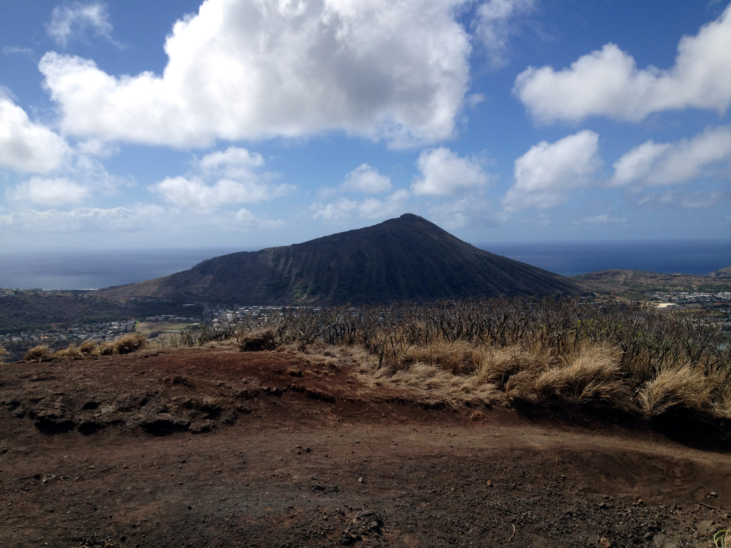 Mariner’s Ridge hike or Kaluanui Ridge Trail could be the easiest and shortest ridge hike to the Ko’olau summit. Conveniently located near the island's southeastern tip in the Mariner’s ridge community, this is a kid and pet friendly hike. Follow Kaluanui road in Hawaii Kai all the way up and park before the dead end. There is a shingled house on the right, that a lot of folks call the “gingerbread house.” I never see anyone there though. Perhaps they would sell it to me and I could manage the trail! We could never figure out why there is a “No Trespassing” sign at the entrance to the trail. This WAS a public hike and not limited to Mariner Ridge residents only. Or am I mistaken? Who cares, arrest us!!! (OR NOT!)
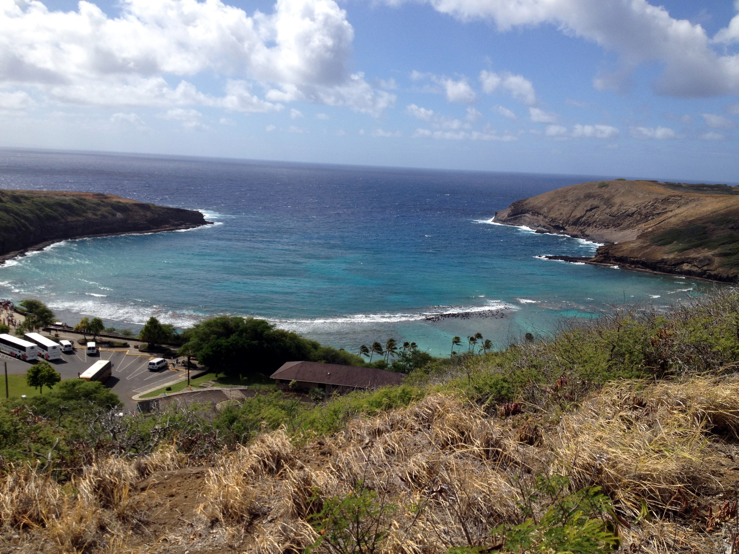
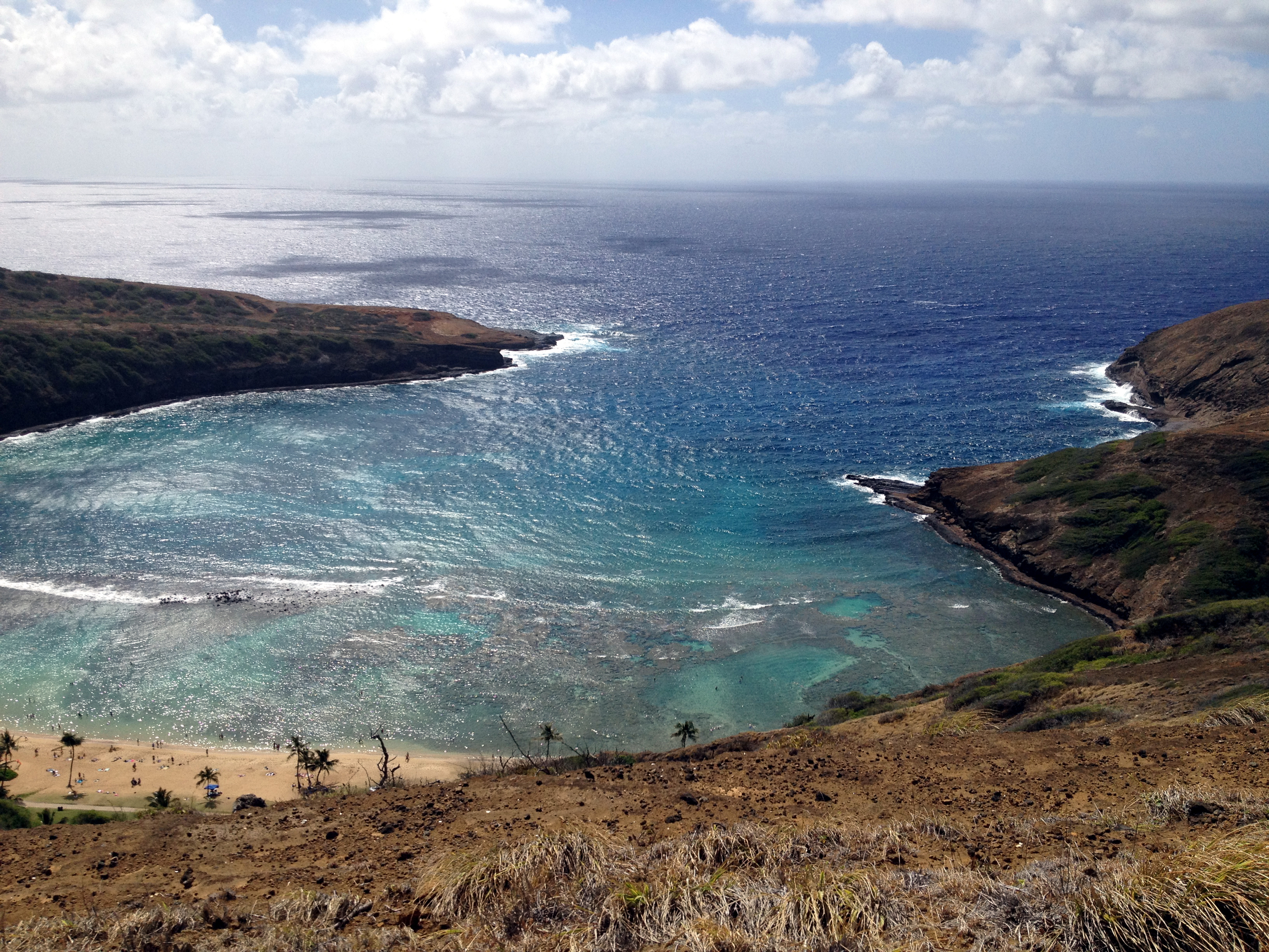
 Ready? Let’s go! The trail is dusty and rocky in the initial section as it switchbacks to gain elevation and leaves the residential area behind. If you are a runner, this is a great section to get the blood flowing and the heart a pump’n. As you start your way up the rocky and dirt trail, you can see Koko Crater looming in your rear view. The higher you go, the more it becomes visible. Don’t worry about shooting a picture yet. It gets better. When you reach the top of the dry dirty section look to the left and you can see Hahaione Valley, Kuapa Pond and Koko Head. Now you can catch your breath and shoot that picture! After ten to fifteen minutes of hiking, you will notice that the trail has become cooler and more forested, with pines and ironwoods being the predominant species along the way.
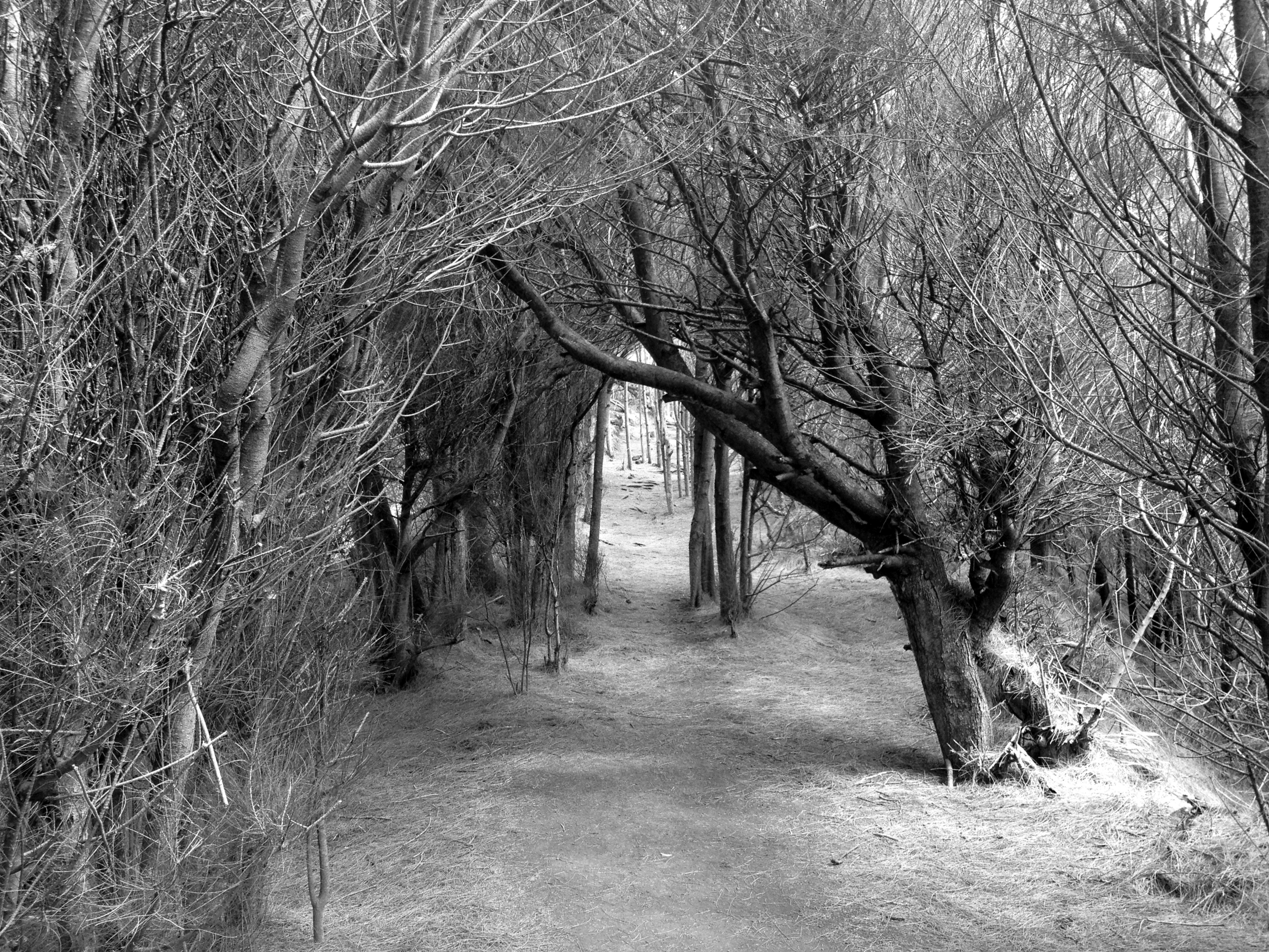 Due to the short distance (1.5 miles to the top) and good condition of the route, the trail is well-hiked, so if you seek a solitary, secluded hiking experience this is not the trail for you. Check out a few of my other hike blogs and find one that suits this better. Since this area is one of the drier ones on the island, this trail can be a good choice when rain is falling on other parts of the island. As is the case with all Oahu trails, slippery conditions will exist when rains hit, so practice good hiking safety. I have done this one in a torrential down pour though. It was actually not too bad. A bit slippy in places, but all in all it made it a cool and breezy hike.
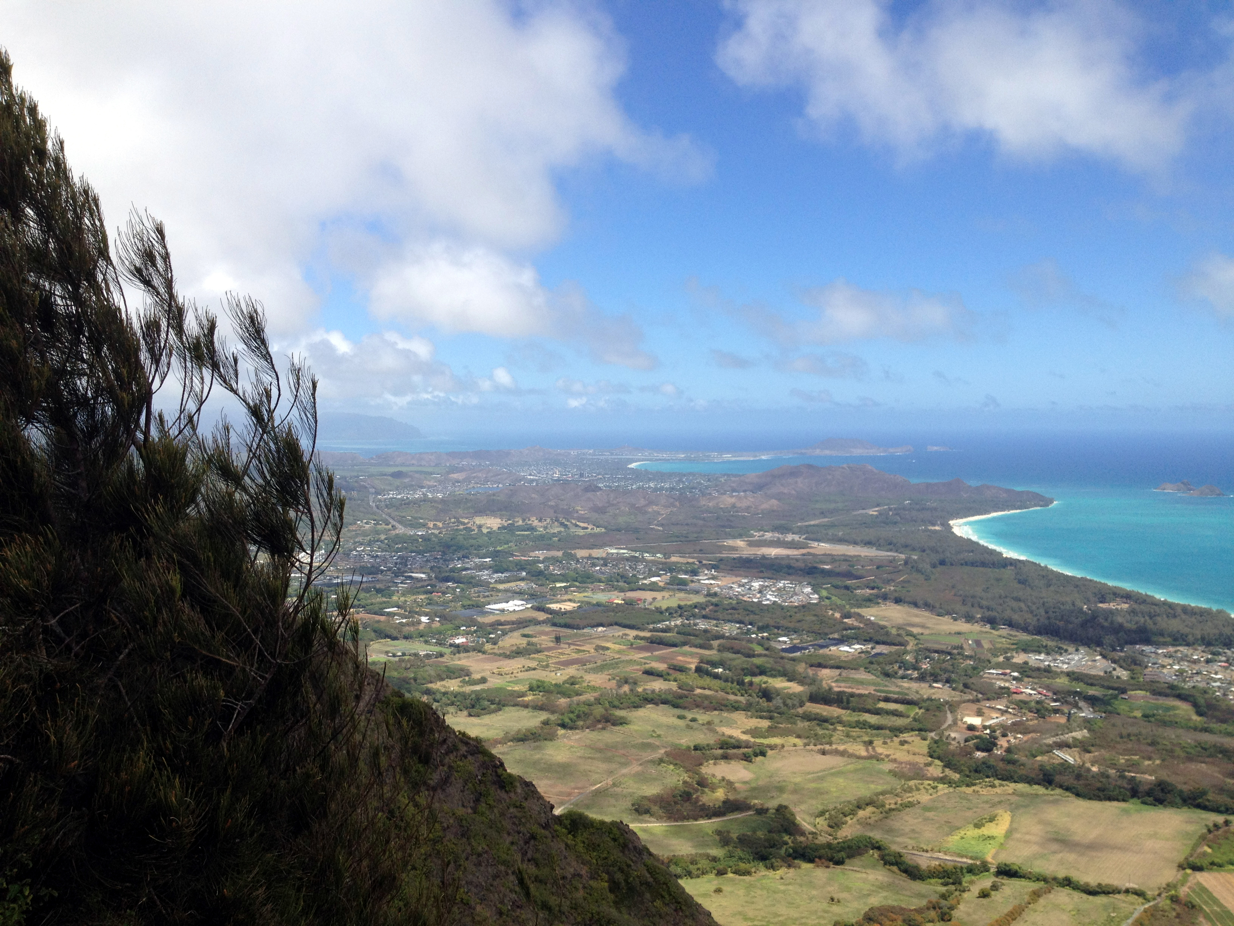
 The rewards (treats) at the summit are excellent views of the windward side of Oahu. Directly below is the community of Waimanalo and its farms and rural residences. You can also see all the way to Kailua and the Marine Corps Base Hawaii on a clear day.
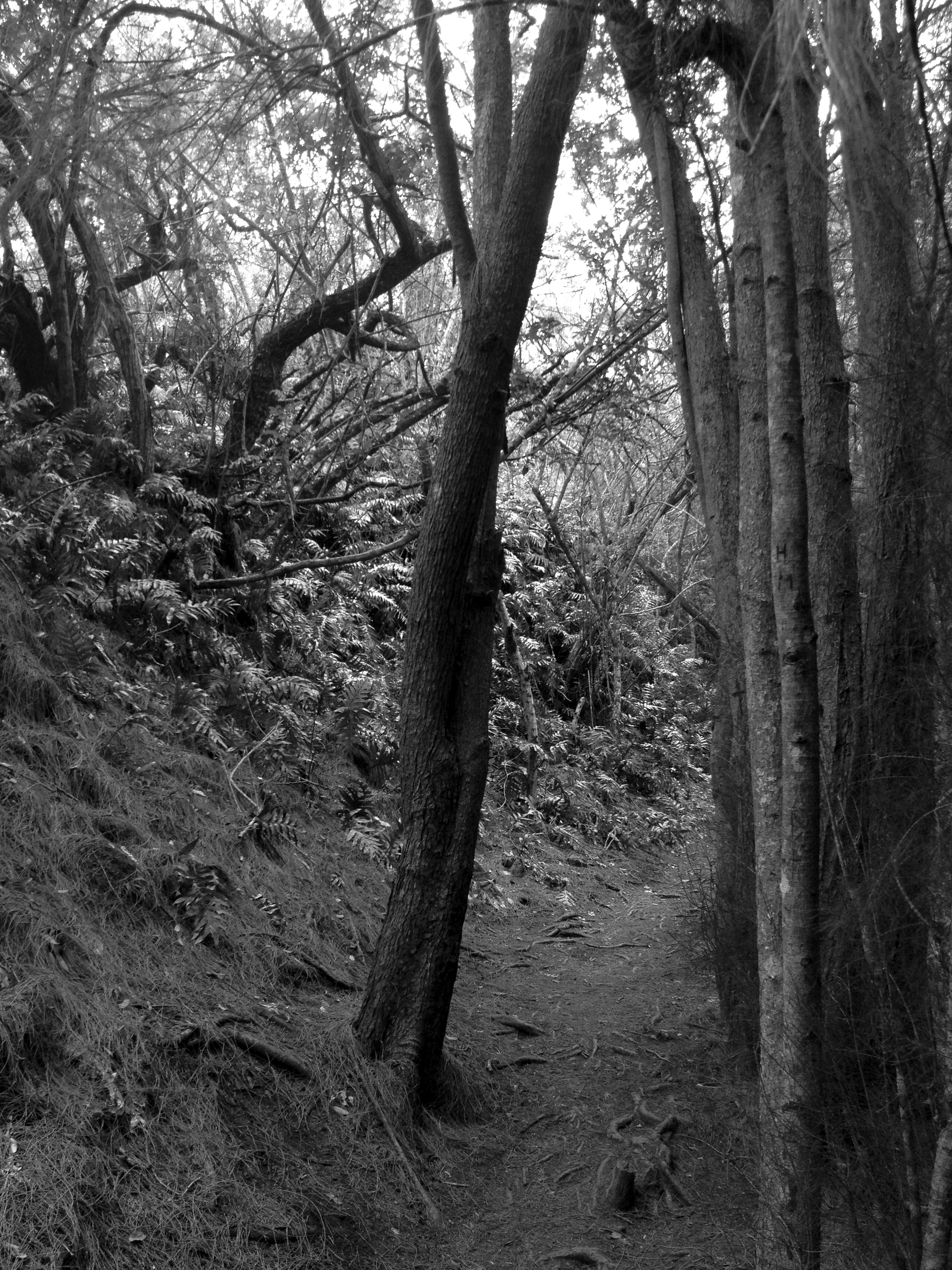 While it is possible to hike along the summit to the left and right of the trail terminus, I do not advise this unless you are hiking with someone who has experience along these routes. A big part of hiking safety is knowing where you are going and what you might be getting yourself into. I have done these trails before and do recommend them, but again, be careful. I will write about these treks soon and will put a higher difficulty rating for these sections. Stay tuned!
 Spend all the time you want at the summit. Bring a cool drink and a picnic lunch or snack and enjoy your time there. On a few occasions, I have stumbled upon some pretty elaborate picnics in progress up here. Wine cheese and all the fix’ns! Funny, never had a taco on top though. Hmmmm, I have an idea! “Mariner’s Tacos”!!!!
OK, head back the way you came. Easy as it gets! Man, I’m hungry…
Happy trails ya’ll!!!!

